
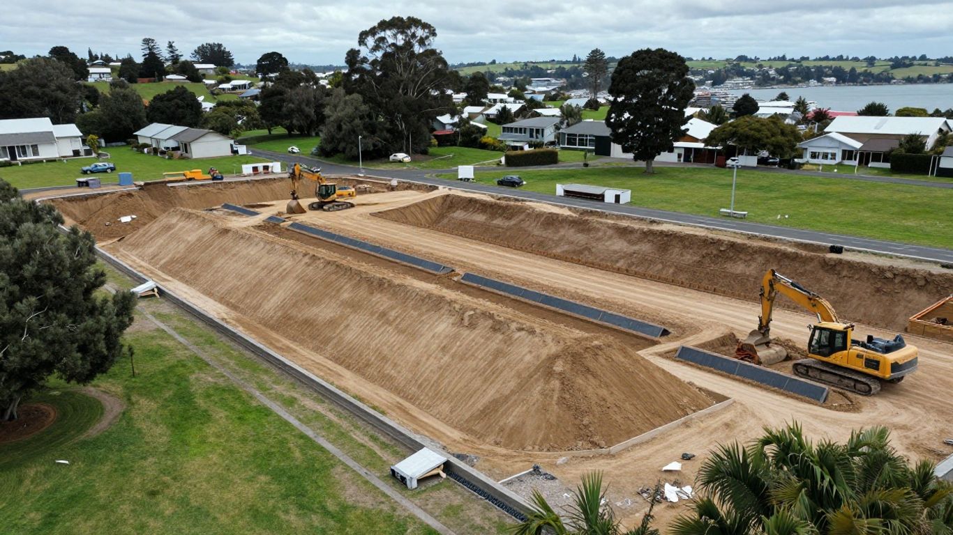
Key Takeaways
Earthworks in Tauranga are controlled by the City Plan, site conditions and, in some cases, regional rules. A little checking before the digger arrives can prevent expensive changes later.
- Excavation, filling, trenching and site cuts can all fall within earthworks rules.
- Zone rules, overlays, hazards and sensitive locations may change what is permitted.
- Resource consent may be needed when volume, location or environmental effects exceed permitted standards.
- Sediment must be kept on the site and away from waterways and stormwater networks.
- Good plans, site records and professional advice make approval and completion easier.
What counts as earthworks in Tauranga
The phrase “earthworks” covers more than a large commercial cut. It can include relatively modest ground disturbance for a driveway, house platform, retaining structure or service trench. The Tauranga City Plan rules are concerned with the scale and effects of the work, not simply whether an excavator is being used.
Before work starts, separate the earthworks question from the building and land-use questions. One project may involve several approvals, and meeting one set of requirements does not automatically settle the others.
Excavation, filling, trenching and site cuts
Excavation removes soil, rock or other material. Filling places imported or relocated material, while trenching creates narrow excavations for drainage, utilities or foundations. A site cut reshapes land to create a building platform, accessway or other usable level.
The volume of material, depth and height of the cut or fill, location on the property, and the final stability of the land can all matter. Spoil that is shifted elsewhere is still part of the project, so allow for both what comes out and what is brought in. A bulk excavation guide is useful background when a project involves substantial cuts, fill or volume calculations.
How earthworks differ from building and land-use activities
Earthworks are the ground-shaping part of a project. Building work concerns structures and the Building Act, while land-use rules concern how a site is used and developed. A retaining wall, for example, may raise a building-consent question as well as an earthworks or resource-consent question, depending on its design and surroundings.
That distinction is practical rather than academic. If earthworks are tied to a wider development that needs consent, the plans should describe the ground disturbance as part of the overall application. Treating the dig as an afterthought can leave gaps in the consent documents.
When small residential works may still create compliance issues
A small backyard excavation can still affect a neighbour, a road, a drainage route or a waterway. Removing soil near a boundary may expose a wall or slope to instability, while filling can redirect runoff towards another property. Even a modest job can also create nuisance through tracking, dust or sediment.
The safest approach is to ask what the work changes, not just how many cubic metres are involved. The Tauranga earthworks consent guide explains the difference between building consent for structural elements and resource consent for environmental effects, while also drawing attention to flood-prone, coastal, heritage and steep-land overlays.
How the Tauranga City Plan controls earthworks
The Tauranga City Plan sets the local framework for deciding whether earthworks are permitted or require consent. The same physical work may be treated differently from one property to the next because zoning, overlays and scheduled features vary. Rules can also change as plan changes are introduced or become operative.
Read the site-specific provisions rather than relying on a general volume figure found online. A compliant result depends on the complete set of standards that applies to the land and the proposed activity.
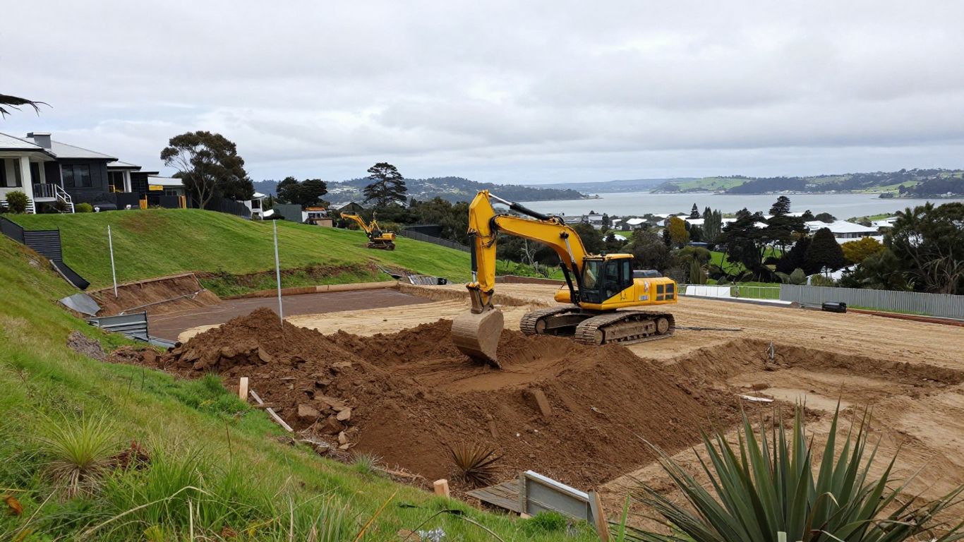
Relevant zones, overlays and scheduled sites
Start by identifying the property’s zone and then check for overlays, scheduled sites and mapped hazards. Flooding, coastal influences, heritage features, steep land, significant vegetation and other constraints can introduce additional standards or trigger a different consent pathway.
The property information should be checked against the current City Plan maps and written rules. If a scheduled tree, archaeological feature or other protected item is nearby, do not assume that ordinary earthworks standards are the only consideration.
Permitted activity standards and volume limits
Permitted activity standards are the conditions work must meet to proceed without resource consent under that rule. They may address volume, exposed area, cut and fill heights, setbacks, timing, stability, dust or sediment. A project that exceeds one standard may need consent even if it meets the others.
A simple comparison can help organise an early review, although it is not a substitute for checking the current rule wording:
| Site question | Why it matters | What to confirm |
|---|---|---|
| How much soil will move? | Volume can affect the activity status | Cut, fill and exported material |
| How high or deep will changes be? | Large level changes may create stability effects | Maximum cut and fill dimensions |
| Where is the work located? | Boundaries, roads and water can be sensitive | Setbacks and mapped constraints |
| How will runoff be managed? | Sediment can enter drains and waterways | Controls before soil is exposed |
The figures and thresholds should be taken from the current rules for the property. If the work cannot clearly fit within every relevant standard, get the consent position resolved before mobilisation rather than hoping the issue disappears under a pile of spoil.
Why Plan Change 30 matters for earthworks
Plan Change 30 was developed after concerns that the existing earthworks rules were unclear or difficult to enforce. The issues identified included sediment control, earthworks undertaken after subdivision, and earthworks associated with another activity. Its purpose was to clarify the intention of the rules and support safer, more effective earthworks.
The Plan Change 30 earthworks overview provides useful context, but plan-change material should not be treated as a replacement for the operative City Plan. Check the status and wording of the provisions that apply when your project is ready to proceed.
When you may need resource consent
Resource consent is generally the question of whether the proposed activity meets the permitted standards and whether its effects are acceptable under the planning framework. Earthworks can require consent because of their size, location, timing or connection with another activity. The answer cannot be determined from the machine, the contractor or the project name alone.
Where the position is uncertain, a written planning check is cheaper than redesigning a formed platform. Allow time for this review before ordering material, booking haulage or setting a construction date.
Earthworks that exceed permitted standards
Exceeding a permitted volume, cut height, fill height, setback or other standard can change the activity status. The same may apply where earthworks are proposed after subdivision rather than as part of the approved development sequence. Plans should show the intended levels and the movement of material clearly enough for the consent authority to assess them.
A consent application may also need to explain the relationship between earthworks and the eventual building, access, drainage or land-use activity. Keeping those pieces together gives the reviewer a more accurate picture of the finished site.
Works near boundaries, waterways, roads and sensitive land
Location often matters as much as quantity. Work close to a boundary can affect neighbouring ground, fences and structures; work near a road can affect access and public safety; and work near a waterway can create sediment and bank-stability concerns. Coastal margins, wetlands, significant vegetation and heritage or archaeological areas may have their own controls.
Take photographs and record existing levels before disturbing the site. That evidence helps clarify what is proposed and can expose practical problems, such as water flowing through the work area or machinery needing to operate in a narrow shared accessway.
Additional approvals that may apply alongside council consent
Resource consent is not a universal approval for every part of a construction project. Building consent may apply to structural elements, and regional council rules may govern discharges, sediment or work affecting water and land. Utility providers, road authorities or landowners may also need to be involved where infrastructure or access is affected.
For drainage-related work, coordinate the excavation with the drainage design and approval pathway. The Tauranga drainage rules guide discusses registered drainlayers, building consent, stormwater requirements and as-built plans, all of which can affect how the work is sequenced.
Erosion and sediment control requirements
Exposed soil is vulnerable to rain, wind and vehicle movement. In Tauranga, sediment leaving a worksite can enter stormwater systems or waterways, so erosion and sediment control needs to be planned before the first cut. Controls should suit the site, the soil, the slope and the expected weather rather than being added after muddy runoff appears.
A contractor’s method should explain how clean water will be kept separate from dirty water and how disturbed areas will be stabilised. The regional sediment and erosion control guidance is a useful reference for sites with exposed ground, including the 100m² threshold described on that page.
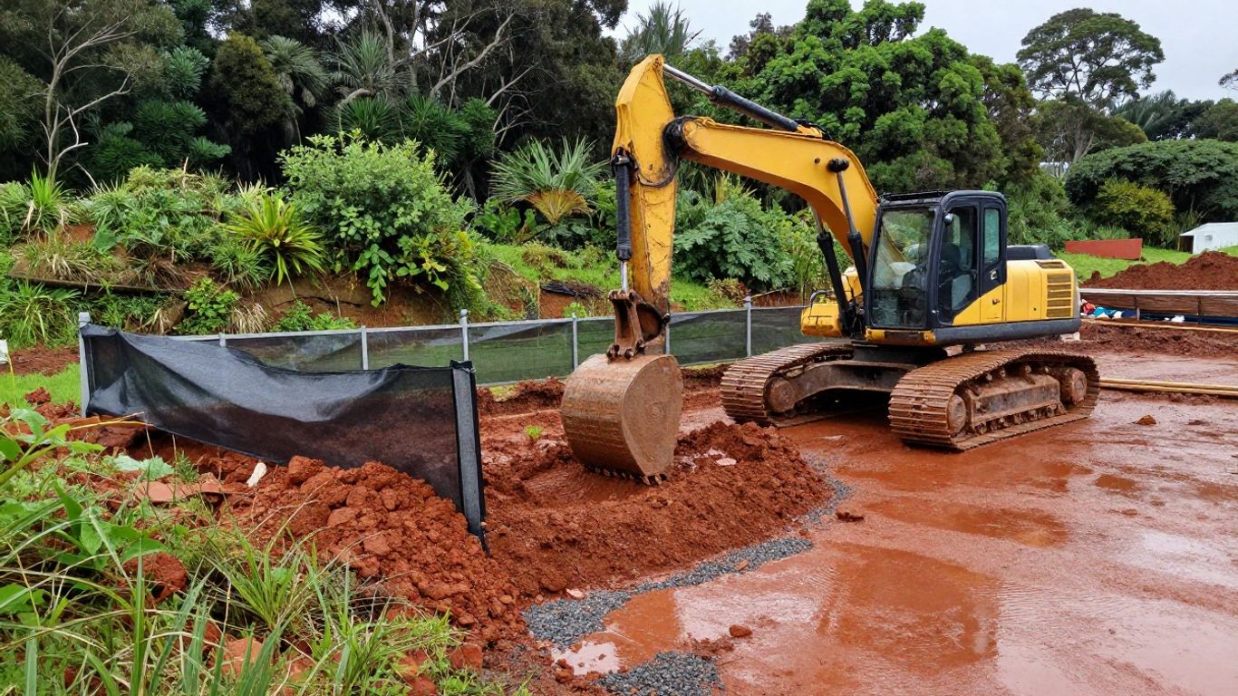
Preventing sediment from leaving the worksite
The basic aim is simple: retain soil on the property. This may involve stabilised entry and exit points, diversion drains, silt fences, decanting earth bunds, sediment ponds or staged excavation. The right arrangement depends on the site, and a control that is poorly placed or not maintained will not do much good.
Controls need to be installed before significant soil disturbance. They also need to account for where water will go during a storm, not only where it flows on a dry day.
Site controls for stockpiles, exposed soil and runoff
Stockpiles should be positioned away from drains, channels and boundaries where practicable, with exposed faces protected or stabilised. Vehicle tracking should be managed at the entrance, and material carried onto the road should be removed promptly. Staging the work can reduce the amount of open ground at any one time.
A useful site checklist usually includes:
- Confirming clean-water diversion before excavation begins.
- Installing perimeter and inlet controls before soil is exposed.
- Covering, stabilising or relocating vulnerable stockpiles.
- Checking the entrance for tracking after vehicle movements.
- Inspecting controls after significant rain and repairing damage.
These measures are ordinary site management, but they only work when someone owns the task. The sediment control service describes site-specific controls installed before earthworks, ongoing maintenance, post-rain inspections and council-ready documentation.
Monitoring requirements during and after construction
Inspection should continue throughout the job, especially after heavy rain, changes in the excavation footprint or failures in a control. Keep records of inspections, maintenance, weather events, photographs and any corrective action. Those records can show that the site was actively managed rather than left to chance.
Controls should remain in place until the ground is stabilised and the risk of sediment leaving the site has reduced. Removing them too early can undo the benefit of careful work during the excavation phase.
Earthworks near hazards and protected areas
Earthworks can alter how water moves and how land behaves. Tauranga properties may include flood-prone areas, steep slopes, overland flow paths, coastal edges or environmentally and culturally sensitive features. These constraints should be considered during design, not discovered when the bucket is already in the ground.
A site visit, survey and appropriate technical advice will often reveal issues that a desktop plan alone cannot. Build the proposed levels around the site’s natural behaviour where possible.
Flooding, overland flow paths and stormwater effects
An overland flow path is a route water may take during intense rainfall when the underground network cannot carry all the flow. Filling across that route, blocking a low point or directing runoff towards a neighbouring property can increase flood risk. A platform that looks tidy in dry weather may still create a problem during a storm.
Show existing and proposed levels, flow routes and discharge points in the design. Coordinate earthworks with stormwater planning, and do not assume that a private pump or improvised outlet will solve a wider network issue.
Sloping sites, instability and retaining structures
Cutting into a slope removes support; filling on a slope adds weight. Both can affect stability, particularly in wet conditions or where groundwater is present. Retaining walls, batter slopes, benching and compaction need to be considered together with the final building platform.
A geotechnical assessment may be appropriate for a steep, complicated or heavily loaded site. Keep structural design and earthworks design aligned, because a wall that is designed without the final ground levels may not perform as intended.
Streams, coastal areas, wetlands and significant vegetation
Work near streams, wetlands and coastal areas can have effects beyond the footprint of the excavation. Sediment, machinery access, bank disturbance and changes in drainage may all require closer assessment. Significant vegetation or heritage features can also limit where machinery and spoil may be placed.
Mark exclusion areas clearly before work begins and brief every operator on them. Where the site contains a feature that may be protected, pause and obtain the relevant advice rather than treating it as an obstacle to work around informally.
How to check the rules before starting work
A reliable pre-start check brings together the property, the proposed levels and the construction method. It should identify both the consent pathway and the practical controls needed on site. Starting with a rough sketch and filling in the detail later is a common way for hidden constraints to become expensive surprises.
Give the reviewer enough information to understand the whole job. The more accurately the scope is defined, the less likely the quote, programme or consent documents are to change halfway through.
Using the Tauranga City Plan and property information
Obtain current property information, survey data and City Plan mapping before finalising the earthworks footprint. Compare the proposed cut and fill against boundaries, services, access, buildings, drainage routes and mapped overlays. If the design changes, repeat the check; moving a platform a few metres can change the relevant effects.
For a new build, coordinate the earthworks plans with foundation, access and drainage information. The site preparation guide explains the sequence from clearing and bulk cuts through to formation levels and compaction, which can help the owner, designer and contractor work from the same picture.
Confirming whether regional council rules also apply
Tauranga City Council rules are only part of the possible regulatory picture. Bay of Plenty Regional Council requirements may apply to erosion and sediment management, discharges, works near water or other environmental effects. The responsible authority depends on the activity and its location.
Ask the consent planner or regional council to confirm the division of responsibilities. Do not treat a city consent, building consent or contractor sign-off as automatic clearance under another authority’s rules.
Getting professional advice for complex or high-risk sites
Professional advice is worthwhile when the site is steep, flood-prone, close to water, tightly constrained by boundaries or involved in subdivision or commercial development. A surveyor, planner, engineer, geotechnical specialist or experienced earthworks contractor may each answer a different part of the problem.
Peard Excavation can review projects across residential, commercial and rural settings, with services including bulk excavation, detailed earthworks, retaining walls and drainage. Its owner-operated approach and in-house delivery model are documented on the earthmoving and site preparation services page; the point is to define the scope clearly before machinery is committed.
The earthworks approval and compliance process
The approval process starts well before an application is lodged. First define the work, then identify the rules, prepare drawings and confirm the controls. Once work begins, compliance becomes an active site responsibility rather than a document that can be filed away.
A clear process also helps manage cost. Unexpected rock, groundwater, access restrictions, disposal requirements or weather can affect the physical job even where the consent pathway is straightforward.
Information to prepare for a consent application
A consent application should describe the location, purpose, extent and timing of the earthworks. Include existing and proposed contours or levels, cut and fill calculations, sections, access arrangements, spoil destinations, sediment controls and any relevant technical reports. Explain how the work relates to the proposed building, subdivision or land use.
The quality of the information matters more than producing a thick bundle of generic pages. Drawings should allow someone who has not visited the site to understand what will change and why the proposed controls are suitable.
Council inspections, conditions and construction records
Consent conditions may require particular controls, inspections, monitoring or completion information. Read them before starting and make sure the person managing the site understands what must be done and recorded. Keep approved plans available to the crew and document any approved changes.
For larger projects, live progress information can make communication easier. Peard Excavation describes bulk excavation work from 10m³ to 10,000m³, including spoil removal and live progress tracking, alongside a modern fleet and laser-guided grading systems. Those are documented service details, not a promise that every project will have the same scope or outcome.
Enforcement risks, remediation and completing the site properly
If earthworks breach a rule or consent condition, council may require the problem to be corrected, the site stabilised or the land restored. Sediment entering a waterway, unsafe ground affecting a neighbour or unauthorised work in a sensitive area can create serious delay and cost. Remediation may involve removing fill, rebuilding controls, reshaping slopes or obtaining retrospective advice, depending on the circumstances.
Completion should include final stabilisation, removal or retention of controls as appropriate, tidy spoil management and any required as-built or inspection records. Peard Excavation’s documented bulk excavation service includes site assessment, spoil removal and progress tracking, which can support a more organised handover when those services fit the project.
Conclusion
The tauranga city council earthworks rules are easiest to manage when the whole site is considered before work starts: the volume, levels, boundaries, water, hazards, consent pathway and sediment controls. Check the current City Plan and regional requirements, prepare useful information, and use experienced advice where the ground or approval position is complicated. That groundwork is rarely wasted; it is what keeps a dig from becoming a problem after the digger leaves.
Frequently Asked Questions
Do all earthworks in Tauranga need resource consent?
No. Some earthworks may be permitted when they meet every applicable City Plan standard. Consent may be required when the work exceeds a standard or is affected by location, hazards, overlays or another activity.
Does building consent cover earthworks?
Not necessarily. Building consent and resource consent address different aspects of a project. Structural elements and environmental or land-use effects may need to be assessed through separate or coordinated approvals.
Can a small residential excavation still need approval?
Yes, potentially. Size is only one consideration. Boundary proximity, slope stability, runoff, waterways, protected features and the relationship with a wider development can all affect the requirements.
What is the purpose of erosion and sediment controls?
They help keep disturbed soil on the worksite and prevent sediment from entering stormwater systems, waterways or neighbouring land. Controls should be installed before significant soil disturbance and maintained during the job.
Do regional council rules apply as well?
They can. Bay of Plenty Regional Council rules may apply to environmental effects such as discharges, works near water and sediment management. The applicable requirements depend on the activity and site.
What information is useful before asking about consent?
Prepare the site address, survey or levels, proposed cut and fill, approximate volumes, access details, nearby waterways and boundaries, intended timing, and any building or subdivision plans. Photos and a simple site sketch are useful starting points too.
What happens if earthworks breach the rules?
Council may require controls, stabilisation, remediation or other corrective action, and the breach may cause delay and extra cost. Stop unsafe or damaging work, document the situation and obtain appropriate planning or technical advice promptly.